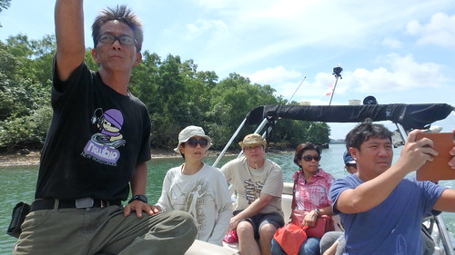
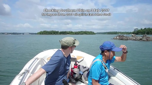
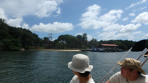
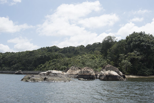
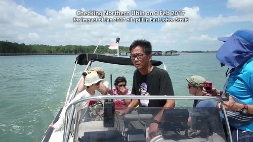
Thanks to Phillip Lim, we made a quick survey by boat of the entire Pulau Ubin coastline. I was glad to see teams cleaning up oil spill impact on the northern shore, but heartbroken to see the impact on some of the northern mangroves.
Our purpose was to get a first hand look at the impact especially on mangroves, and to decide on a long-term monitoring programme. So we made a quick tour all around the coastline of Pulau Ubin. Our focus was on mangroves, which are in dark green in this map by NParks.
The heart of Ubin mangroves (biggest patch of dark green) lies in the centre of the island. With creeks in the South leading inwards: Sungei Puaka and Sungei Jelutong. While in the North, Sungei Besar and Sungei Mamam are the main creeks leading in.
Thanks to Ng Siak Juay for mapping our trip.
We started on the Southern shore of Pulau Ubin (facing Singapore). Here, oil impacted Sungei Puaka and Pulau Ketam. Fortunately, Sungei Jelutong was spared.
As we head west, we pass by Outward Bound Singapore shores near Tanjung Tajam which were badly impacted. Most of the oil landed on beaches and the affected sand removed. The small mangroves on the shore were apparently spared.
Rounding Tanjung Tajam, the impact on the Northern shoreline was clearly visible by the wide oil stain on the natural rocks.
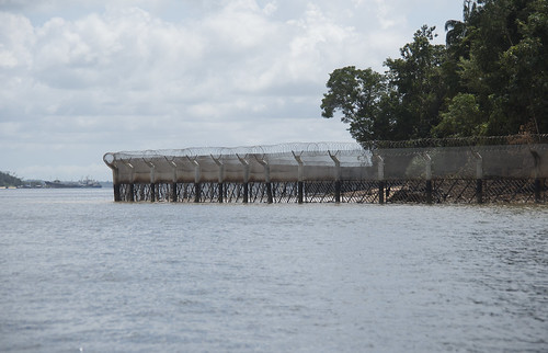
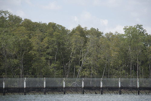
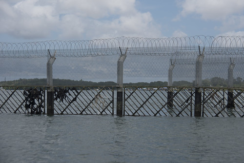
As well as on the security fence.
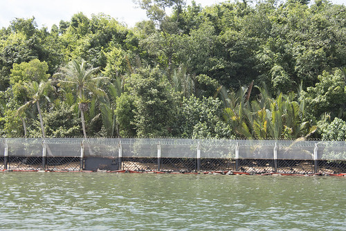
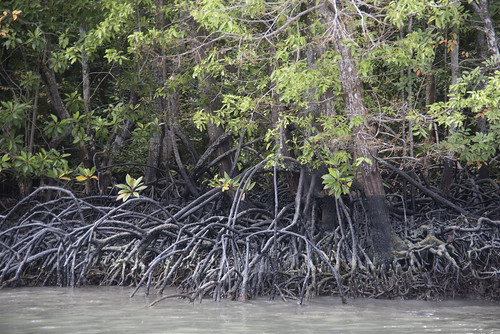
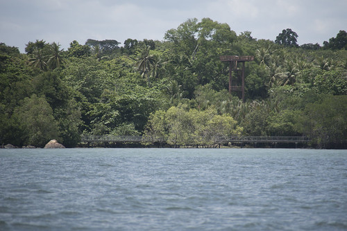
There is a patch of mangroves on Northern Ubin behind the security fence that seemed to have a lot of oil on the roots of the trees.
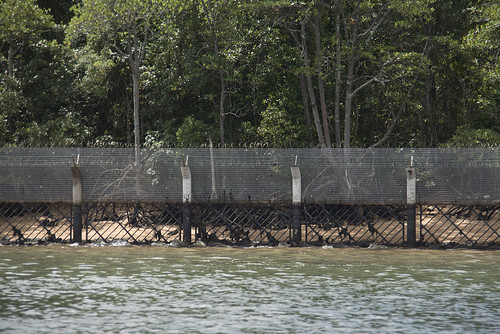
A closer look at oiled roots.
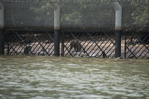
There was a wild boar foraging on the shore.
Oil clearly impacted the mangroves at Sungei Besar the most. Phillip brought us past the security fence to have a closer look at the mangroves. There was a wide band of oiled roots on the mangroves at the mouth of the creek.
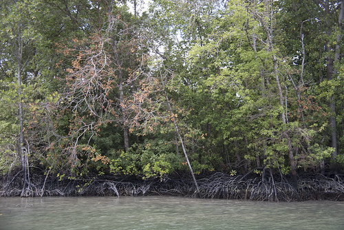
Mangroves have special breathing roots near the mud surface. If oil coats these roots, the mangrove trees can't breathe and this will affect their health. One of the early signs are lots of yellow leaves on a tree. But some mangrove trees do seasonally have all leaves turn yellow or orange and drop off, before a flush of green leaves return shortly.
So one possible sign of oil spill impact is to look out many trees of different species with yellow leaves.
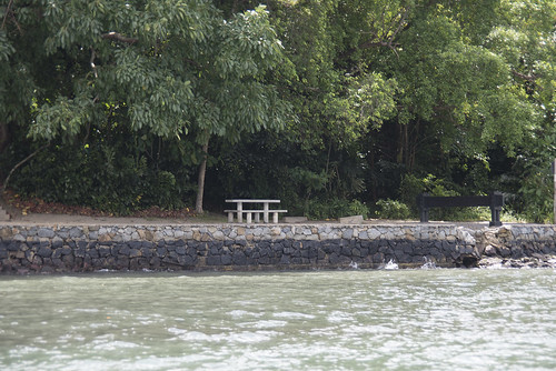
Sungei Mamam and Mamam Beach also got impacted by oil. With oil stains still visible on the seawall there.
Here's a video clip of the northern leg of our trip.
Chek Jawa on the eastern tip of Pulau Ubin is our last stop. The small patch of mangroves there were also impacted but not as heavily as the northern shores.
Oil coats trash and one way to reduce impact without harming mangroves, is to remove the trash.
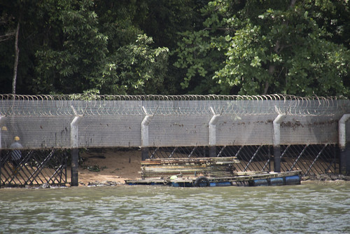
So it was great to see that clean up is still going on at the Northern shore. We saw a small team appearing to be removing and replacing oiled boards on the security fence.
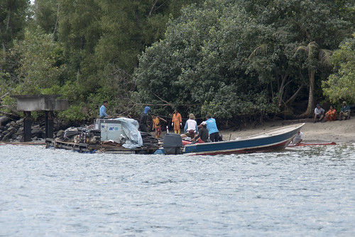
We also came across a large team working on the shore.
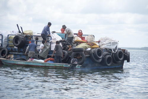
Seeming to transfer stuff to a larger vessel.
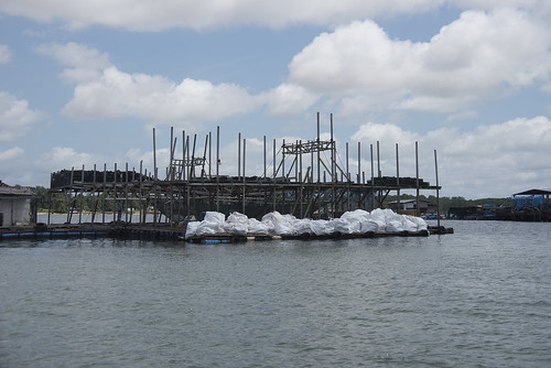
Similar looking white bags were seen on a nearby fish farm.
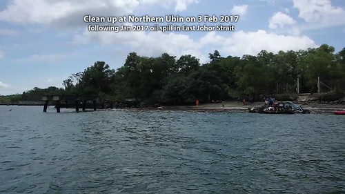
Here's a video clip of the clean up we saw on the shore.
Dr Karenne Tun treated us to lunch after the trip! Thank you! We discussed and now have a plan to work together to keep an eye on and gather data on oil spill impacts on mangroves at Pulau Ubin. Hurray!
On this trip: Dr Karenne Tun and Cheo Pei Rong of National Biodiversity Centre NParks, Robert Teo and Choi Yook Sau from Ubin NParks, Prof Dan Friess from NUS, Phillip Lim and Ng Siak Juay from Sea Angel, Dr Beverley Goh of NIE, Oliver from Republic Polytechnic and me, wildsingapore.
More photos by Ng Siak Juay on facebook. Including his check on Changi Creek.
Posts about the Jan 2017 Johor Strait oil spill
Our purpose was to get a first hand look at the impact especially on mangroves, and to decide on a long-term monitoring programme. So we made a quick tour all around the coastline of Pulau Ubin. Our focus was on mangroves, which are in dark green in this map by NParks.
 |
| Map from the NParks website. |
 |
| Map from the NParks website. |
We started on the Southern shore of Pulau Ubin (facing Singapore). Here, oil impacted Sungei Puaka and Pulau Ketam. Fortunately, Sungei Jelutong was spared.
As we head west, we pass by Outward Bound Singapore shores near Tanjung Tajam which were badly impacted. Most of the oil landed on beaches and the affected sand removed. The small mangroves on the shore were apparently spared.
Rounding Tanjung Tajam, the impact on the Northern shoreline was clearly visible by the wide oil stain on the natural rocks.
As well as on the security fence.
There is a patch of mangroves on Northern Ubin behind the security fence that seemed to have a lot of oil on the roots of the trees.
A closer look at oiled roots.
There was a wild boar foraging on the shore.
Oil clearly impacted the mangroves at Sungei Besar the most. Phillip brought us past the security fence to have a closer look at the mangroves. There was a wide band of oiled roots on the mangroves at the mouth of the creek.
Mangroves have special breathing roots near the mud surface. If oil coats these roots, the mangrove trees can't breathe and this will affect their health. One of the early signs are lots of yellow leaves on a tree. But some mangrove trees do seasonally have all leaves turn yellow or orange and drop off, before a flush of green leaves return shortly.
So one possible sign of oil spill impact is to look out many trees of different species with yellow leaves.
Sungei Mamam and Mamam Beach also got impacted by oil. With oil stains still visible on the seawall there.
Here's a video clip of the northern leg of our trip.
Chek Jawa on the eastern tip of Pulau Ubin is our last stop. The small patch of mangroves there were also impacted but not as heavily as the northern shores.
Oil coats trash and one way to reduce impact without harming mangroves, is to remove the trash.
So it was great to see that clean up is still going on at the Northern shore. We saw a small team appearing to be removing and replacing oiled boards on the security fence.
We also came across a large team working on the shore.
Seeming to transfer stuff to a larger vessel.
Similar looking white bags were seen on a nearby fish farm.
Here's a video clip of the clean up we saw on the shore.
Dr Karenne Tun treated us to lunch after the trip! Thank you! We discussed and now have a plan to work together to keep an eye on and gather data on oil spill impacts on mangroves at Pulau Ubin. Hurray!
 |
| Photo by Ng Siak Juay. |
More photos by Ng Siak Juay on facebook. Including his check on Changi Creek.
Posts about the Jan 2017 Johor Strait oil spill
- Changi Creek and Sungei Ubin after the oil spill
- Oil spill at East Johor Strait: YOUR sightings part 2
- Changi Creek
- Changi Creek mangroves
- Changi Beach at Carpark 1 and 2
- Changi seagrass meadows near Changi Point Ferry Terminal
- How are Pasir Ris mangroves and seagrass meadows after the oil spill?
- Are we helping or harming when we 'clean' oiled mangroves?
- Oil spill at East Johor Strait: YOUR sightings
- Key happenings: Oil spill at East Johor Strait, Jan 2017
- Survey of oil spill spill impact on Ubin and mainland Singapore, 5 Jan 2017
- Oil spill near Pulau Ubin, 4 Jan 2017

